


Recently, there has been a rise in the application of high-tech systems such as remote sensing in agriculture. Compared to traditional agrarian methods, agricultural techniques of today are far more efficient, logical, and streamlined.
Utilizing cutting-edge techniques, such as crop yield estimation, during the whole cultivating process might result in an optimal yield and superior harvest.
Farmers must take the best possible care of their crops in order to guarantee a higher yield. However, because farmers were expected to physically visit every area of the land, the employment of customary systems limited the observation of larger territories. Recent innovations have provided numerous ways for farmers to easily monitor crop quality in larger regions.
Here are reasons why the application of remote sensing in agriculture can make a difference.
Importance of Remote Sensing Technology in Agriculture
All aspects influencing the agricultural sector should be analyzed on a Spatiotemporal basis for sustainable agricultural management. In the assessment and regulation of agricultural activities, remote sensing, along with other modern techniques including global positioning system (GPS) and geographic information system (GIS), are gaining importance.
In agriculture, the application of remote sensing has proven to be helpful in monitoring, evaluating, and managing land, water, and crop resources. The advancement of remote sensing in agriculture technology has resulted in great progress in soil and land cover mapping, land degradation study, wasteland monitoring, and production forecasts.
With an increased understanding of agriculture’s negative environmental implications, new techniques and approaches should be able to meet future food demands while maintaining or decreasing agriculture’s environmental footprint. Emerging technologies like geospatial technology, the Internet of Things (IoT), Big Data analytics, and artificial intelligence (AI) are being used to improve crop management decisions.
What are the Types and Tools of Remote Sensing in Agriculture?
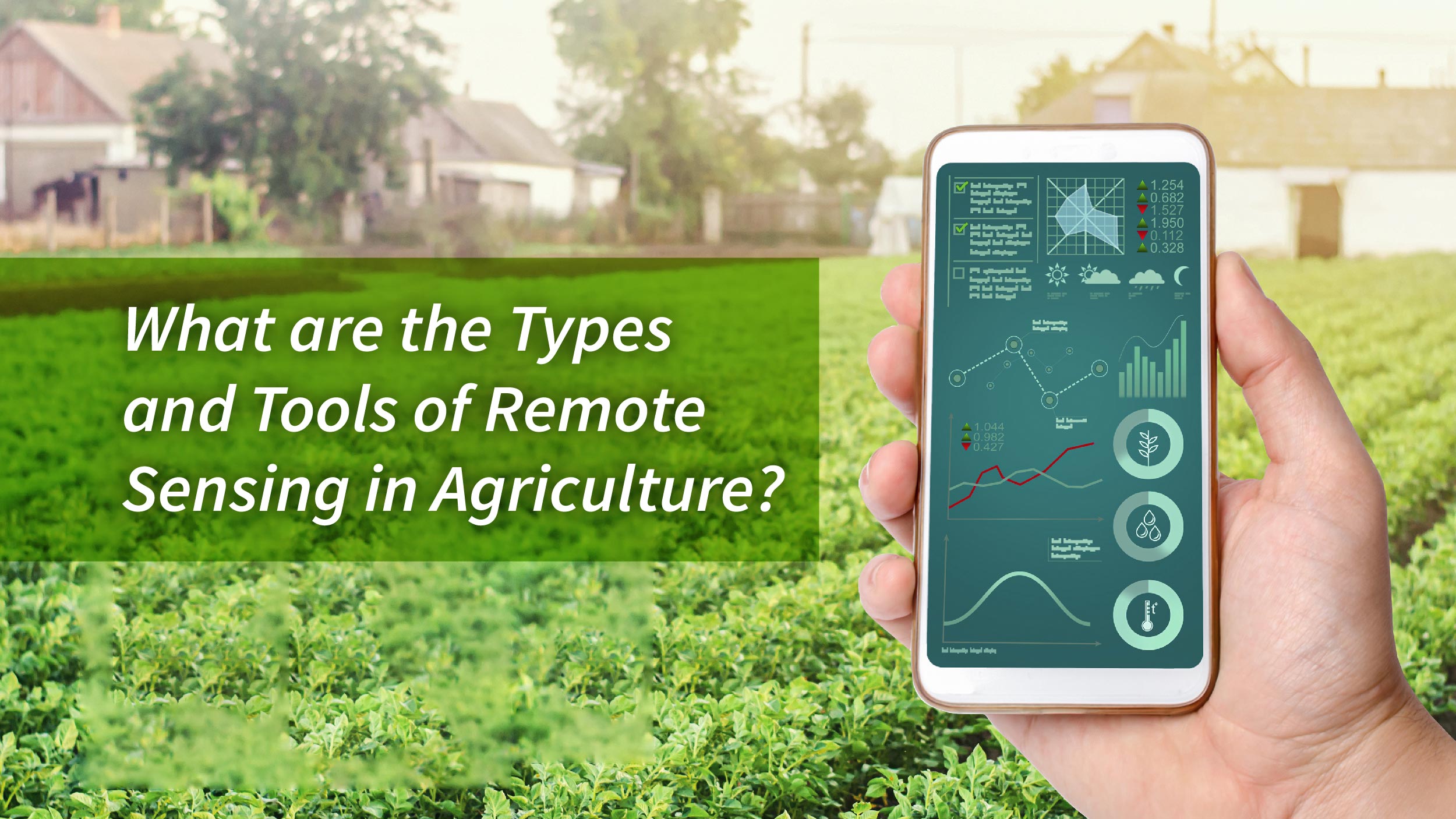
In agriculture, remote sensing refers to a variety of techniques used to gather and process information about crops and agricultural landscapes. The following are some typical forms and instruments of remote sensing in agriculture:
- Optical sensing: In this technique, electromagnetic radiation in the visible, near-infrared, and thermal infrared (TIR) parts of the electromagnetic spectrum is detected using optical sensors. It offers insightful data on land cover, vegetation indices, and crop health. Data from optical sensing is often obtained by aerial photography or satellite imagery.
- Microwave sensing: For the transmission and reception of signals in the microwave wavelength range, active and passive sensors are used in microwave remote sensing. It is appropriate for monitoring in a range of weather circumstances and has the ability to penetrate atmospheric conditions. Applications like crop health monitoring and soil moisture measurement make use of microwave sensing.
- UAV-based remote sensing: The usage of unmanned aerial vehicles (UAVs) integrated with instruments for remote sensing is growing in the field of agriculture. They can be utilized for crop health surveillance, yield projections, and tracking temporal and spatial variability in agricultural areas. They also have the benefit of having a high spatial resolution.
- Remote sensing via satellite: A broad perspective of agricultural landscapes can be obtained by satellites fitted with equipment for remote sensing. They gather information on environmental conditions, changes in land use, and agricultural development. Monitoring variability at the sub-field level and precision agriculture both benefit from satellite remote sensing.
These are but a handful of the many varieties and instruments of remote sensing that are employed in agriculture. The selection of a remote sensing approach is contingent upon the particular requirements and goals of the agricultural analysis or monitoring assignment, as each method possesses unique benefits and uses.
Applications of Remote Sensing in Agriculture
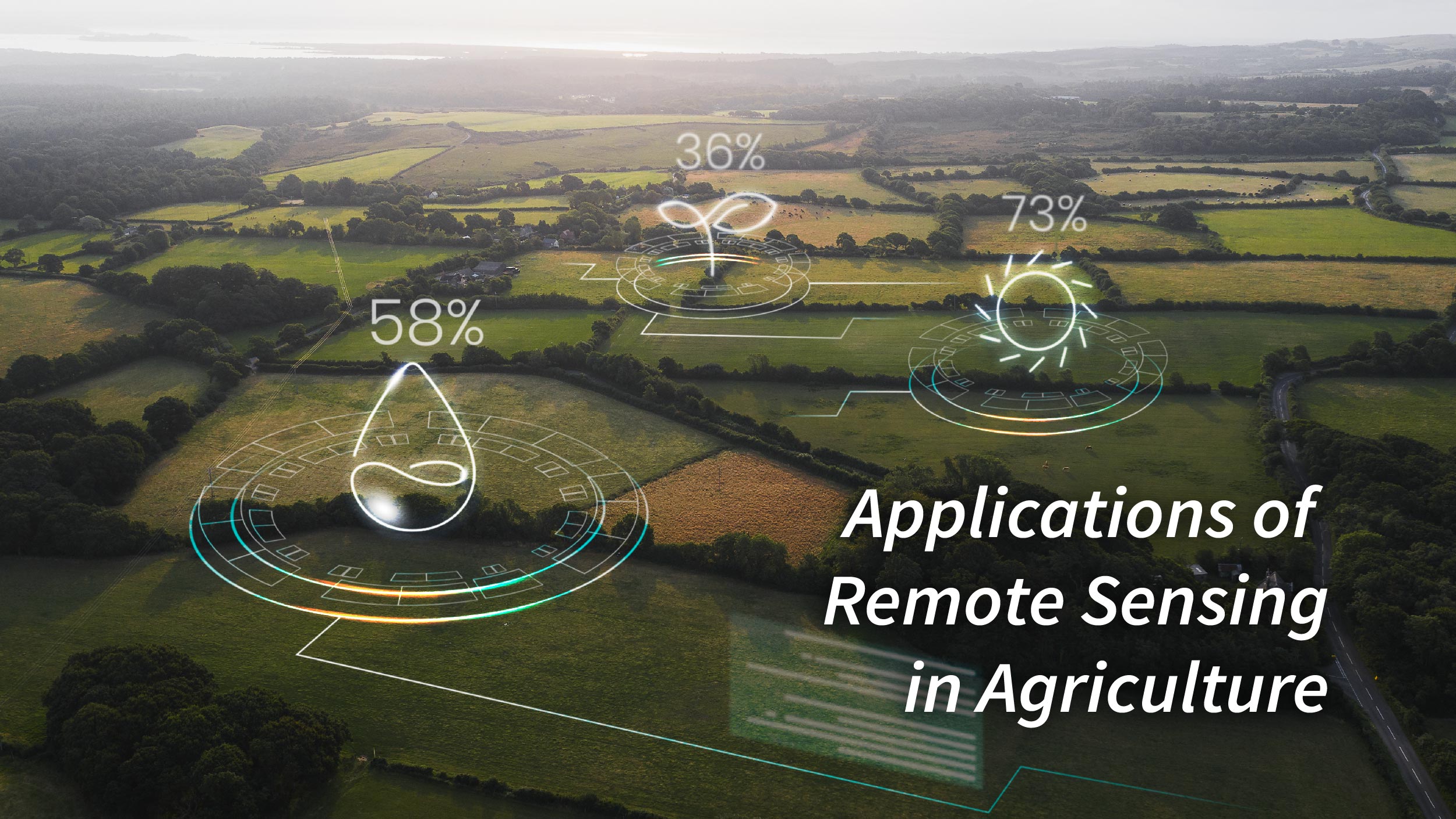
Remote sensing has evolved from a tool for monitoring agricultural activities to a powerful method for determining plant biophysical properties and enhancing agricultural practices. Its applications span irrigation management, water stress detection, evapotranspiration measurement, soil moisture monitoring, nutrient management optimization, disease identification and prevention, crop health monitoring, and yield forecasting.
The advent of low-cost UAVs, high-resolution satellite imagery, and ground-based proximity sensors has revolutionized agriculture, enabling remote sensing to play a pivotal role in optimizing crop production and resource management.
Remote sensing’s ability to detect and analyze various abiotic and biotic stresses in multiple crops makes it an invaluable tool for comprehensive crop management. It can identify and manage multiple crop issues simultaneously, enhancing overall crop health and productivity.
Experts have employed advanced techniques, including empirical and regression models along with various machine learning algorithms, to fully explore the potential of remote sensing in agriculture. They have developed and tested vegetation indices for irrigation scheduling, disease control, weed mapping, and yield forecasting, demonstrating remote sensing’s effectiveness in supporting agricultural operations.
As remote sensing technology continues to advance, its role in agriculture is poised to expand even further, revolutionizing the way we cultivate our land and ensuring sustainable and efficient agricultural practices.
In a Nutshell
In order to effectively monitor crops and make decisions, remote sensing in agriculture provides a variety of methods and instruments for data gathering and analysis. Farmers and other agricultural professionals can maximize crop management strategies, make well-informed decisions, and raise overall productivity in the agricultural sector by employing these remote sensing tools.